
Description
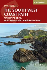
The South West Coast path is a 1014km (630mile) long distance path and the longest National Trail in England.The path stretches from Minehead in Somerset to Poole in Dorset.This updated Trail Map covers the third and final section of the South West Coast Path from Plymouth to Poole Harbour which is 339km (211 miles).Includes the Jurassic Coast World Heritage Site and DurdleDoor, the famous sea arch in Dorset.The entire route on 3 sheets. This is map 3 of 3, a good two weeks walking on one map.The XT40 is based on original HARVEY mapping with all the detail a walker would expect on a map at 1:40,000 scale.Clear and easy to read mapping which is uncluttered by information irrelevant to the walker.Printed on tough, light and 100% waterproof paper, less than half the weightof a laminated map.Shows facilities and services along the route.